Mapping Earthquakes to Save the World
Grade 6, 90-120min
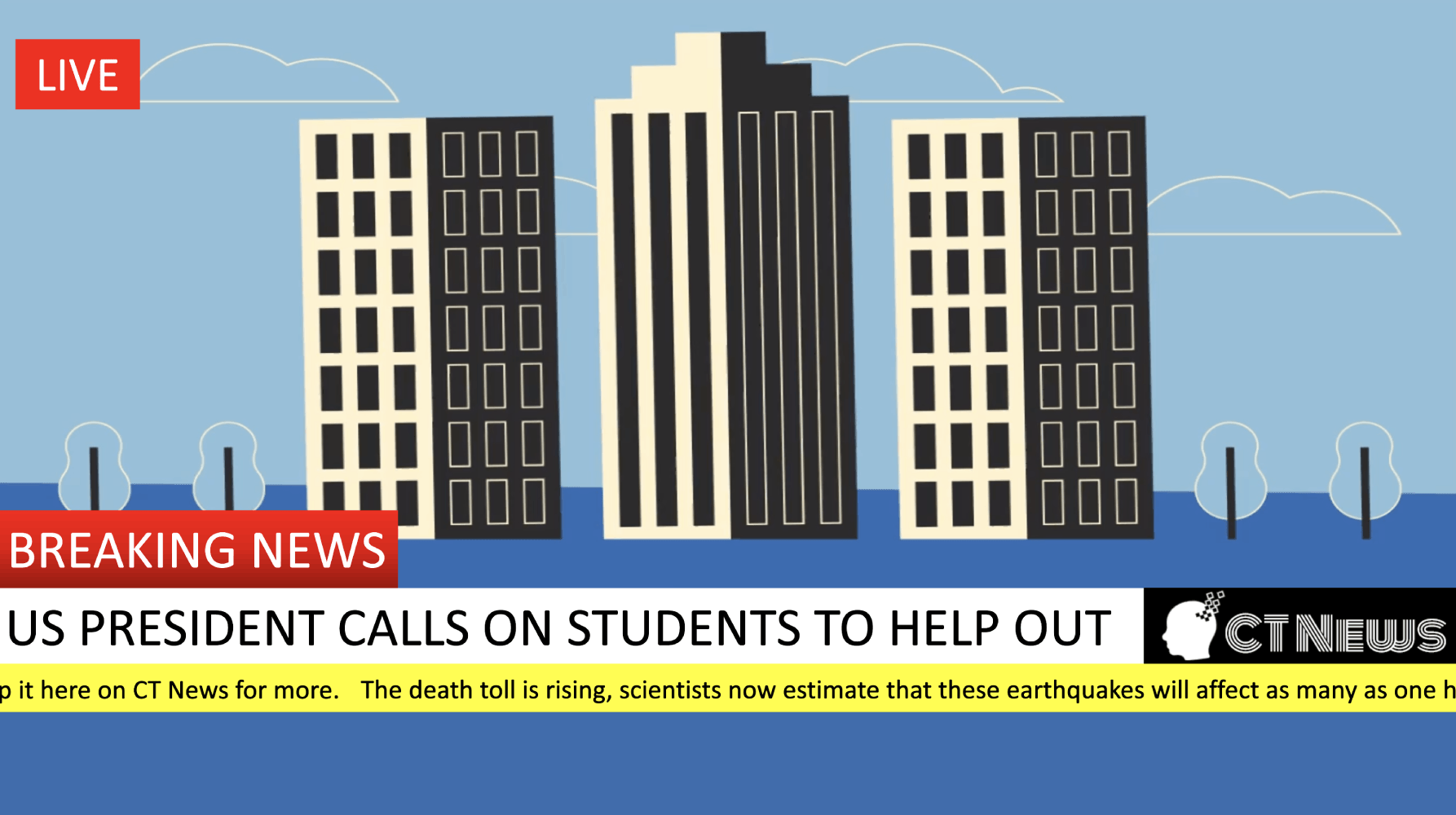
In the Mapping Earthquakes to Save the World activity, students leverage real-time data to plot earthquakes on a world map. The fate of the world is in their hands – the President of the United States has asked for their help to save humankind. Students identify patterns in their data and connect earthquakes with tectonic plates, making recommendations back to the President about where people are safe and where people are most at risk. This activity was heavily inspired by a project from the Stevens Institute for Technology Center for Innovation in Engineering and Science Education.

Topics addressed
- Plate tectonics and earthquakes
- GPS coordinates
- Primary CT concept: pattern recognition. Students are finding real-world, raw data and visualizing it geographically, then looking for trends and patterns in that data to draw conclusions about where and why earthquakes are happening and are likely to happen again.
Students will be able to
- Develop a hypothesis about what causes earthquakes and collect data to evaluate their hypothesis
- Plot points on a world map using GPS coordinates
- Recognize geographic patterns on a map and relate them to tectonic plate boundaries
- Compose a persuasive letter explaining their findings using scientific reasoning and citing data
Materials
-
Slides:


-
Blank world map:


-
Tectonic plate overlay:


- Vellum paper for printing the tectonic plate overlay (example)
Prep
- Sync with your students’ math teacher(s) to understand your students’ experience to date with the Cartesian coordinate plane, so you can appropriately frame GPS coordinates for them
- Print the tectonic plate overlay on vellum paper or transparency film that is designed for your printer (laser or inkjet). In a pinch, printing it on relatively low-weight normal white paper will work as well – students will just have to hold their papers up to the light to see through.
Suggested lesson breakdown
This lesson can be run within a single class period, or can easily be split over two days.
- 10min – introduction of the project
- 5min – students form hypotheses
- 10min – how to plot with GPS coordinates
- 15-20min – students plot earthquakes from live GPS data
- 5-10min – students plot earthquakes from live map data
- 5min – students compare their maps with tectonic plate overlays
- 10min – full class discussion on findings
- 30-45min – students write letters on their findings to the President
Next Generation science standards
-
NGSS.MS-ESS2-2
Construct an explanation based on evidence for how geoscience processes have changed Earth’s surface at varying time and spatial scales.
Common Core standards
-
CCSS.ELA-Literacy.RST.6-8.7
Integrate quantitative or technical information expressed in words in a text with a version of that information expressed visually (e.g., in a flowchart, diagram, model, graph, or table). -
CCSS.Math.Content.6.NS.C.5
Understand that positive and negative numbers are used together to describe quantities having opposite directions or values (e.g., temperature above/below zero, elevation above/below sea level, credits/debits, positive/negative electric charge); use positive and negative numbers to represent quantities in real-world contexts, explaining the meaning of 0 in each situation.